Exploring the invisible with the aim of revolutionizing the study of archaeological landscapes hidden by vegetation: this is the ambitious heart of the LidArc Initiative, an international project coordinated by the University of Siena in collaboration with Global Digital Heritage.

Leading this cutting-edge research is Stefano Campana, Professor at the Department of History and Cultural Heritage (DSSBC). Thanks to a 20 million euro grant awarded by the Hitz Foundation to the LAP&T (Laboratory of Landscape Archaeology & Remote Sensing at the University of Siena), the University’s recent spin-off neXst, and other national and international partners, the project deploys an unprecedented technological synergy. It combines high-resolution aerial and drone surveys with advanced Artificial Intelligence tools to accelerate data interpretation, alongside field verifications using geophysical methodologies, core sampling, and X-ray fluorescence (XRF) analysis.
LiDAR (Light Detection and Ranging) technology acts exactly like daylight capable of penetrating dense tree canopies, revealing archaeological structures that would otherwise remain invisible to the human eye.
Professor Campana emphasizes: “This approach will allow us to move from fragmentary and intermittent knowledge to a continuous vision of historical landscapes. It identifies not only prehistoric, Etruscan, Roman, and medieval sites but also their contexts and the transformations of landscapes resulting from the successive economic, social, and productive systems. Furthermore, the project represents a significant opportunity to better understand how to apply LiDAR technology to highly anthropized environments such as Mediterranean landscapes“.
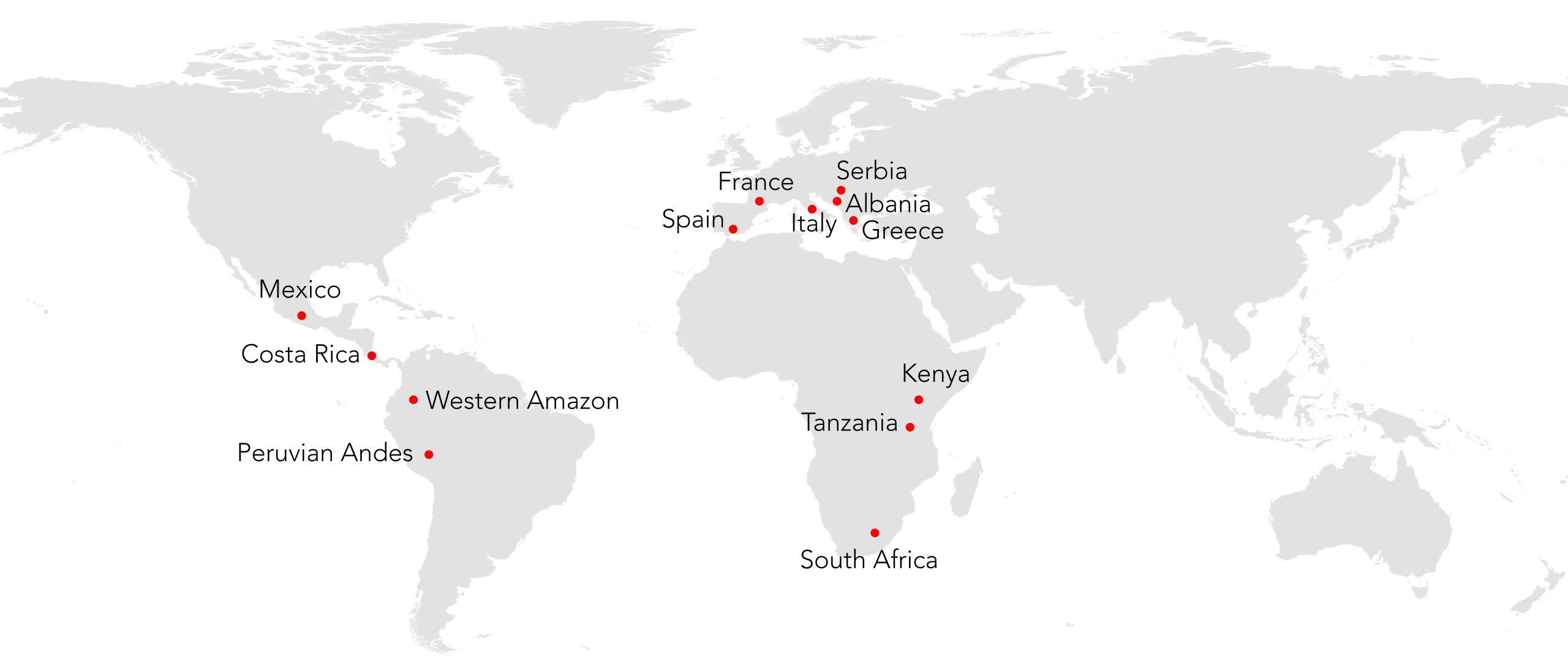
Despite its effectiveness, the use of LiDAR has been limited until now by high costs and a lack of shared protocols. LidArc was created specifically to bridge this gap, developing accessible and replicable methods on an international scale. Although the project operates in over ten countries – including Guatemala, Mexico, Peru, South Africa, and Albania – one of its most fascinating challenges concerns the Italian territory.
“To date, we have nearly completed the scanning of approximately 5,000 square kilometers of Southern Tuscany, the largest area ever covered for archaeological purposes“, explains the Professor. “LiDAR will enable the identification of prehistoric, Etruscan, and Roman remains, as well as poorly mapped medieval villages, across a vast area stretching from Argentario to Val di Merse“.
A significant example is Mount Amiata: here, the technology will allow for the mapping of ancient and medieval settlements and the reconstruction of historical landscapes shaped by human activity that are entirely invisible today.

Officially presented during the Digital Heritage World Congress held in Siena in 2025, the LidArc Initiative involves an elite scientific network including the Bruno Kessler Foundation, the University of Cape Town, and prestigious American universities such as Tulane and Texas at Austin.
“LidArc represents a turning point in the way we explore the past, both in terms of scale and research intensity“, concludes Professor Campana. “The primary contribution will be an exponential increase in knowledge, without which neither history nor heritage protection can exist. Secondly, I would not be surprised if, in a mature phase of the project, at least in certain contexts, we find ourselves in a position to rewrite the history of these places and their respective communities“.